
Board of Directors

Correen Davis, President
Managing Partner, Gorrill Ranch

Josh Sheppard, Vice President
Owner - JAKS Farming

Greg Johnson, Director
President - Far West Rice, Inc

Eric Larrabee, Director
Partner - Larrabee Farms

Bryce Lundberg, Director
VP of Agriculture - Lundberg Family Farms
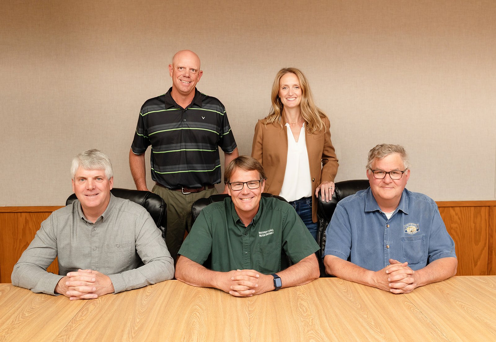
Board of Directors - Back Row Josh Sheppard and Correen Davis Front Row Eric Larrabee, Greg Johnson and Bryce Lundberg
Administration

Jenny Scheer
General Manager

Craig Myers
Assistant General Manager Operations & Maintenance


Chelle Ravert
Finance Manager

Dustin Cooper
General Counsel

Shawna Sherer
Administrative Assistant
Water and Maintenance Operations
Senior Water Operators: Bob Wiechert, Ryan Gage
Water Operators: Chris Damon, Jeremy Wachtel, John Waybright, Karl Jennings
Equipment Operator: Jacob Hansen

The Western Canal Water District (WCWD) was formed to provide agricultural water by a vote of landowners on December 18, 1984. The District purchased the Western Canal Company water system from PG&E, which had acquired it from Great Western Power Company. The canal was originally developed by the Western Canal Company, which began operations in 1911. The District encompasses a land area of approximately 59,000 irrigable acres in both Butte and Glenn Counties, with approximately 30,700 acres in the East Butte subbasin and 14,000 in the West Butte subbasin.
WCWD’s original diversion was located at the Western Canal Company’s Dam on the Feather River. The diversion facilities and upstream portion of the Western Canal were displaced by the Oroville Reservoir Complex. The supply is now provided by two outlet structures located on the northwest corner of the Thermalito Afterbay. The maximum combined outlet flow is 1,250 cubic feet per second.
The pre-1914 surface water rights of the District comprise 150,000 acre-feet of natural flow of the Feather River, subject to reduction during drought, and 145,000 acre-feet from upstream stored water that is not subject to reduction. Water from the North Fork of the Feather River is stored in a series of reservoirs, known as the Feather River North Fork Project. This water must be taken during the period of March through October (also known as the “quantified period”). Additionally WCWD maintains a water right on Butte Creek for up to 11,400 acre-feet (AF), which can be diverted only during the period of April 1 through June 15.
On May 27, 1969, PG&E entered into an agreement with the DWR to provide for the diversion of Feather River water below Oroville Dam. This agreement spells out the timing and quantity of deliveries by the DWR to WCWD. During drought years, WCWD’s rights to natural flows (or 150,000 AF) are reduced up to 50% in any one year, not to exceed 100% in seven years.
The District does not own any irrigation wells. Any groundwater used within WCWD is from individual landowners’ wells. Many landowners have constructed agricultural production wells to provide a conjunctive-use capability during drought years. A number of the farms to the north of the main canal were entirely dependent upon groundwater supplies until canals and low-lift pumps were installed to provide surface water supply. Current groundwater use within the district boundaries is estimated to be 7,000 AF.
WCWD’s recent cropping pattern is approximately 90% rice and 10% in other uses (orchards, wildlife habitat and row crops). The cropping pattern is determined through water service applications to WCWD and the use of aerial photographs. WCWD is currently observing a minor conversion of rice to orchard crops at slow pace in certain areas of the District.
The conveyance losses within the District are estimated to be about 5%. The losses are calculated from the total diversions from Thermalito Afterbay less the total metered water diversions from the delivery system. Conveyance losses also include losses from water that is conveyed to district lands in Glenn County. In addition, WCWD provides environmental water supply to the Howard Slough Unit of the California Department of Fish and Wildlife in Glenn County.
Finally, WCWD also provides water under obligation to the "1922 Agreement" lands located in Butte Sink. These lands are managed for waterfowl habitat using Butte Creek natural flow and return rice flows and supplemented by WCWD water when flows are inadequate to maintain habitat purposes.